

The Calder Divide Trail is a long distance circular route that connects the old network of packhorse tracks and more recent greenways that exist along the watershed - the high ground - of the River Calder in West Yorkshire.
This has gifted us one divide but many trails you can take to explore this diverse landscape:
The Calder Divide Trail is a single fixed 145 mile route for rider, runner or walker
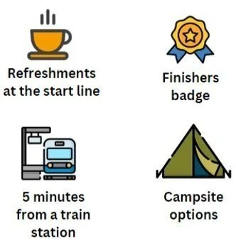
The Calder Divide Trail event has four route options from 100 miles to 160 miles
2026 event
The next multi-day event will be held on the 19th / 20th September 2025. There will be four route options on the event weekend.


Poster design by @missyredboots

Gpx route files
This route is open for anyone to ride, run or walk at any time in any direction from any starting point at any time of the year.
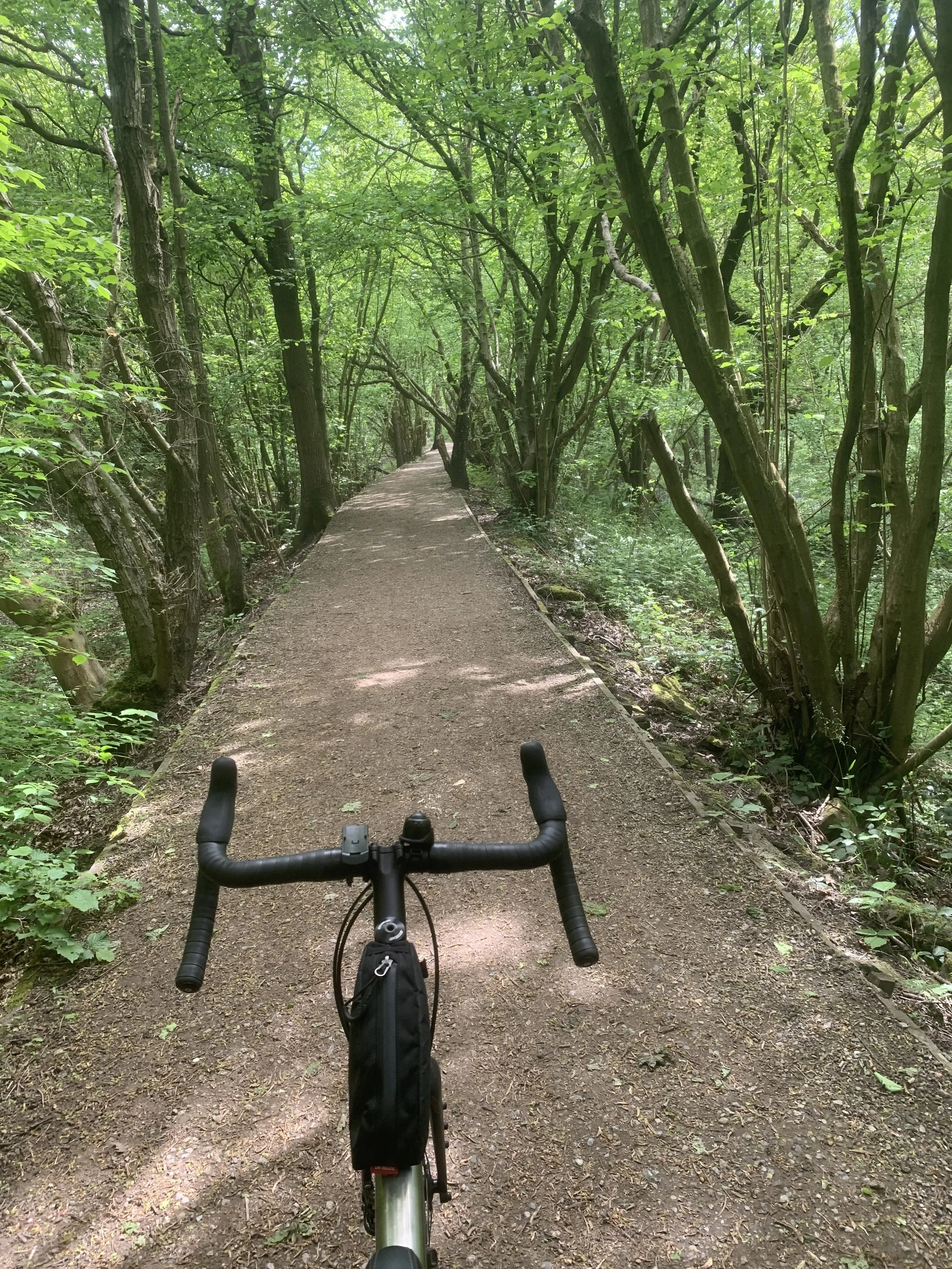
The route is best described as a ‘trail of two halves’. The western section towards Todmorden is on bridleways and causeways across open moorland and steep valley sides suitable for a mtb. The eastern section towards Castleford is on traffic-free greenways, minor country roads, towpaths and trails on the floodplain suitable for a gravel bike.
MTB route
This gpx has been updated (Feb 2025) to take account of the closure of a section of the Spen valley Greenway due to upgrade of the Pennine rail line. The detour involves a 1.5km section of Dewsbury.
GPX of the 145 mile route of the CDT ---------------------
GPX of the 145 mile route of the CDT ---------------------
Gravel bike route
The ‘Washlands’ route is a rewarding ride and easily linked via the many train stations. This gpx will guide you around the 1.5km detour through Dewsbury (cycle path closed de to rail upgrade). The FKT is a little over 13 hours!
(1) Bridleways
Bridleways are open access trails that are wide enough for the farmers tractor and hard packed with cobbles, gravel and soil. On the two GRAVEL routes they are well maintained trails as shown on the video clips below of the wooded slope up to Jack Bridge and the long climb up Springs Road. On the two MTB routes many of the bridleways cross exposed and weather beaten moorlands where the trails have deep ruts, large drop off’s and loose rocks.
(2) Causeways
Causeways are stone paths made of cobbles or flagstones. Wool merchants in the 1600’s needed hard wearing paths to get ‘pony trains’ loaded with valuable cargo to market and so paid good money to lay down causeways over the tops of the moors. The Calder Divide Trail links miles of these tough Yorkshire trails.
(3) Greenways
Greenways are traffic free trails with tarmac surfaces laid on top of old railway lines. Greenways give you a safe and easy way to cover many miles along the urban fringe. The Calder Divide Trail links the Pennine moors in the west to the level floodplain in the east via the Spen Valley Greenway and the Ossett tunnel. Each of the five bikepacking routes takes you along the greenway shown below.
watershed
The word ‘watershed’ was originally a geographical term describing the edge of an area of land that captures and drains rain water into streams and onward into a single river that eventually flows into the sea. From that, watershed came to mean dividing line.
The watershed of the River Calder is so much more than this. It is where the wild spaces are. Those bits of the landscape that are still green. Places such as Crimsworth Dean with a bridleway through oak woodlands managed by the National Trust, the Southern Washlands with gravel trails set amongst alder, sedges and willow that thrive along the river edge and Whirlaw Common with its packhorse lane set between high stone walls and heather clad moors.
The watershed of the Calder is not a fixed line, permanently marked on a map. It is a broad divide that separates rivers along a ridge of high ground. In this corner of Yorkshire the watershed is criss-crossed by bridleways, causeways and greenways etched into the landscape over the last 700 years as farmers, labourers and merchants went about their day-to-day lives.
Signage
There is no signage saying ‘Calder Divide Trail’ out on the hills, moors and valleys. The routes of the CDT are on bridleways, Sustrans greenways along the urban fringe, open access moorland, restricted-by ways, sections of the ace Pennine Bridleway and public roads.

Inspirational Bit
“Every trail has its history. It is not there by accident, and every twist it makes once had some historical meaning which we can decipher today, but not often”.
W.G.Hoskins ‘The Making of the English Countryside’
